Delaware officials are using maps and high-tech equipment to study and predict the effects in Delaware of rising sea levels.
A storm in May flooded parts of the state, adding to the motivation for David Carter — a state environmental program manager working on coastal management issues.
Other agencies are partnering with Carter to map areas vulnerable to flooding. Carter is using digital photos taken when a pulse of light shows the bottom of bodies of water around Delaware.
Based on those photos, state officials are able to update evacuation routes and consider areas of the state that could be under water during flooding. Carter’s project is expected to take two years.
Causes of sea level rise include melting polar icecaps and erosion of shorelines.
___
Information from: The (Wilmington, Del.) News Journal
Was this article valuable?
Here are more articles you may enjoy.
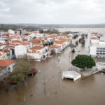 Portugal Rolls Out $2.9 Billion Aid as Deadly Flooding Spreads
 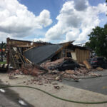 Navigators Can’t Parse ‘Additional Insured’ Policy Wording in Georgia Explosion Case
  Canceled FEMA Review Council Vote Leaves Flood Insurance Reforms in Limbo
  One out of 10 Cars Sold in Europe Is Now Made by a Chinese Brand
Want to stay up to date?
Get the latest insurance news
sent straight to your inbox.