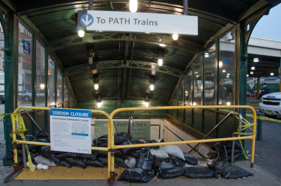
The federal government has published maps showing the risk of flooding has worsened in New Jersey since it last gathered such data in the 1980s. That’s without taking into account projections that sea level will continue to rise at an accelerating rate.

The Federal Emergency Management Agency released the map in December based on data gathered before Superstorm Sandy. It is an advisory to help property owners, builders and government agencies know where FEMA is headed. FEMA says it will unveil its official flood insurance map this year.
High-water marks in coastal areas from major storms, the kind expected once every 100 years, could be 1 to 5 feet higher than previously expected. The maps also expand the area where forceful waves are considered a risk.
Was this article valuable?
Here are more articles you may enjoy.


 UBS Top Executives to Appear at Senate Hearing on Credit Suisse Nazi Accounts
  Cape Cod Faces Highest Snow Risk as New Coastal Storm Forms
  Uber Jury Awards $8.5 Million Damages in Sexual Assault Case
  Tesla Sued Over Crash That Trapped, Killed Massachusetts Driver