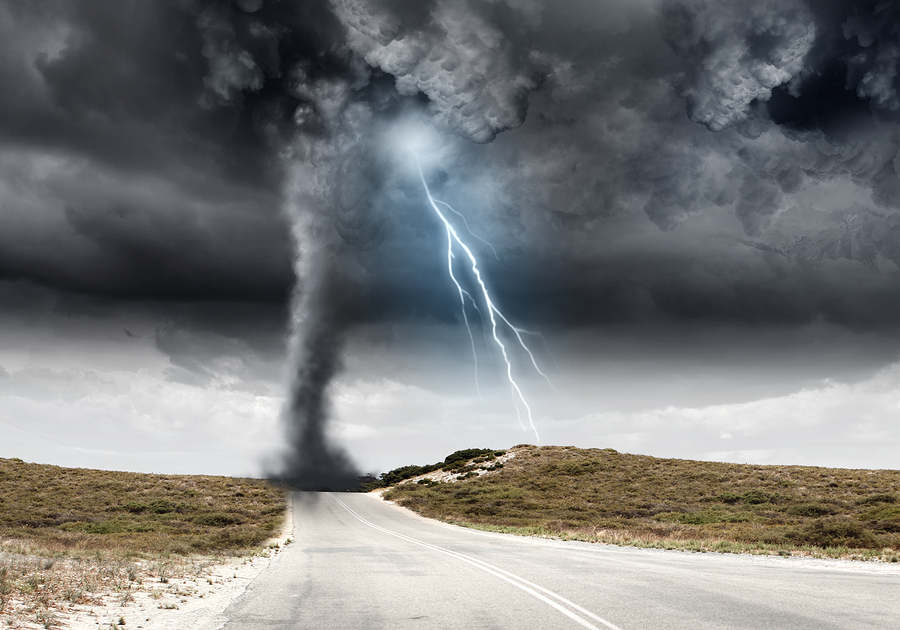
The heavy rain, high winds and hail that swept across the southern Great Plains is now headed to Arkansas and Missouri, where farmers are already struggling to get crops in the ground in a brutally wet spring.
The massive outbreak of tornadoes forecast Monday didn’t materialize, but the system still managed to damage homes and close a stretch of Interstate 40 in Oklahoma under flood waters. There were no reported deaths.
There were, however, widespread reports of 4 to 6 inches (10 to 15 centimeters) of rain, with some areas getting as much as 8 inches, said Marc Chenard, a senior branch forecaster with the U.S. Weather Prediction Center in College Park, Maryland.
“There is still a squall line in east Texas, Oklahoma and Kansas,” Chenard said. “Those are the hardest hit areas and it is almost over there with just a few more hours of heavy rain.”
The Great Plains and Midwest have been battered by storms this year, leaving the Mississippi River at dangerously high levels, causing record floods in Nebraska and Iowa and delaying corn and soybean planting across the region.
Like most of the central U.S., planting in Missouri and Arkansas is falling behind both the five-year averages and the pace set last year as a result of the wet weather.
Delayed Planting
Missouri only has 62% of its corn planted, versus 95% a year ago through May 19, according to the U.S. Department of Agriculture crop planting progress report. Soybeans are also lagging with only 9% of fields planted versus 58% a year ago. In Arkansas, only 31% of soybeans have been planted versus 78% a year ago.
Tornado watches were posted in eastern Oklahoma and western Arkansas early Tuesday, while flood warnings and advisories reached from the Texas Panhandle to southern Illinois.
Was this article valuable?
Here are more articles you may enjoy.


 Why 2026 Is The Tipping Point for The Evolving Role of AI in Law and Claims
  Berkshire Utility Presses Wildfire Appeal With Billions at Stake
  FM Using AI to Elevate Claims to Deliver More Than Just Cost Savings
  Cape Cod Faces Highest Snow Risk as New Coastal Storm Forms