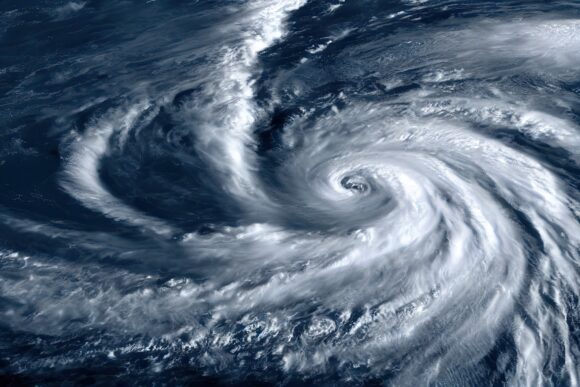
AccuWeather experts warn that the return La Niña and historically warm water across the Atlantic Ocean could contribute to a “super-charged” hurricane season in 2024.
AccuWeather long-range forecasters say that the current El Niño pattern is expected to transition to a La Niña pattern during the second half of hurricane season. The NOAA issued a La Niña watch earlier this month forecasting a 55% chance of La Niña developing in June-August.
“The second half of the hurricane season is likely to be very active, as conditions will be more favorable for tropical systems,” AccuWeather long-range expert Paul Pastelok said.
La Niña typically leads to more tropical storms and hurricanes in the Atlantic due to reduced wind shear, or disruptive winds high in the atmosphere, said AccuWeather chief meteorologist Jonathan Porter.
La Niña was building during the destructive 2005 hurricane season that produced four Category 5 hurricanes: Emily, Rita, Katrina and Wilma. La Niña was firmly established amid the 2020 hurricane season, the most active Atlantic hurricane season on record.
Though the timing of La Niña suggests a back-loaded 2024 hurricane season, AccuWeather warns residents along the Gulf Coast and Atlantic Seaboard should remain vigilant for storms ahead of official start of the hurricane season on June 1.
“We expect that the Gulf Coast, especially the Texas coast, will be at a higher risk for direct impacts from a tropical system this year,” Pastelok said.
A historically warm Atlantic Ocean could add fuel to the hurricane season. As of mid-February, Atlantic water temperatures were at the same level where they typically are in mid-July. Temperatures may only rise as the days get longer and heat builds across the Northern Hemisphere heading into spring and summer, according to AccuWeather.
“Any storms that do form will have the potential to rapidly strengthen, even close to land, due to the exceptionally warm waters,” Porter said.
Was this article valuable?
Here are more articles you may enjoy.


 FM Using AI to Elevate Claims to Deliver More Than Just Cost Savings
  Why 2026 Is The Tipping Point for The Evolving Role of AI in Law and Claims
  Berkshire Utility Presses Wildfire Appeal With Billions at Stake
  LA County Told to Pause $4B in Abuse Payouts as DA Probes Fraud Claims