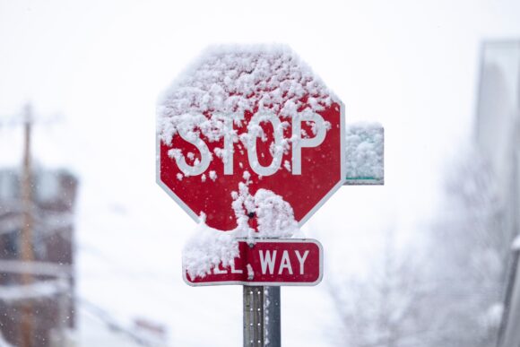
Snow was expected to pick up across portions of Oregon, Northern California and northwestern Nevada by Wednesday night, according to AccuWeather meteorologists, who are forecasting heavy snow to expand through the northern and central Sierra on Thursday.
The best chance for snow totals of 4-8 feet or more will be at elevations above 5,000 feet in the Sierra Nevada and Klamath Mountains, according to AccuWeather.
“As the heaviest precipitation moves through Northern and Central California, snow levels will drop over northern regions in particular. They could dip as low as 2,000 feet in the Siskiyou Mountains during the worst of the storm,” said AccuWeather Senior Meteorologist Heather Zehr.
Blowing snow, rapid accumulation, and low visibility are likely to lead to delays and extended closures on some highways and mountain passes across the northern and central Sierra region later this week. Major travel and commerce links including Interstate 80 at Donner Pass could be buried by 6-10 feet of snow. Rail traffic and commerce in the area could also be severely impacted by the heavy snow.
The combination of rich moisture and winds out of the southwest set the stage could be the largest snowfall totals the Sierra has seen so far this winter. The storm is rolling out of the Gulf of Alaska, pumping down cold Arctic air into the region, leading to lower snow levels, according to AccuWeather.
The worst conditions are expected Friday night. AccuWeather is advising people who live and work in upslope or mountainous regions to gather emergency supplies, food and bottled water. Generators should also be checked, fueled and set up in a location with proper ventilation to prepare for power outages.
“In addition to the mountains, locations across the inner valleys and coasts can face windy conditions which could raise concern for power outages, given the saturated ground,” said AccuWeather Meteorologist Joseph Bauer.
Was this article valuable?
Here are more articles you may enjoy.


 Credit Suisse Nazi Probe Reveals Fresh SS Ties, Senator Says
  Uber Jury Awards $8.5 Million Damages in Sexual Assault Case
  LA County Told to Pause $4B in Abuse Payouts as DA Probes Fraud Claims
  Elon Musk Alone Can’t Explain Tesla’s Owner Exodus