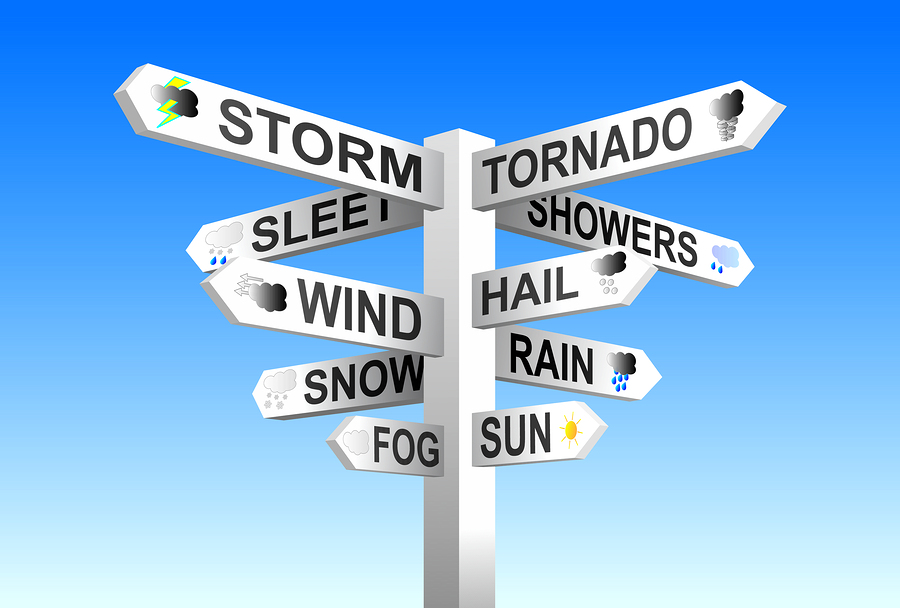
An active weather pattern could bring destructive tornadoes, heavy rains, large hail and strong wind gusts to parts of the central United States over the next several days, according to meteorologists at the National Weather Service and AccuWeather.
Two strong storms are expected to bring severe weather across much of the Central to Southern High Plains on Friday, with severe weather pushing farther east later in the day.
“Anyone in the Omaha, Kansas City, and Des Moines area needs to be on the lookout Friday and be aware,” said AccuWeather severe weather expert Guy Pearson. “It’s certainly an ideal environment for those storms to be tornadic.”
Heavy rains from the expected thunderstorm activity pose the threat of localized flooding, according to NWS. Eastern portions of the Central to Southern Plains into the into Lower Missouri and Lower Arkansas River Valleys are especially likely to see localized flooding.
NWS said another round of thunderstorms, heavy rains, flash flooding and severe weather is again possible across the Southern Plains beginning Saturday afternoon and continuing into Sunday.
Accuweather chief on-air meteorologist Bernie Rayno said Saturday could bring up to a dozen or more tornadoes from Kansas City to Dallas.
On Sunday, the threat of severe weather shifts east with the chance of isolated tornadoes, hail, and straight-line wind hitting anywhere from San Antonio to Chicago, according to AccuWeather.
While large portions central U.S. will see stormy weather over the next several days, the Southern High Plains and the Texas-Oklahoma Panhandle are expected to receive windy and dry conditions, which could elevate critical fire weather conditions through Sunday.
Was this article valuable?
Here are more articles you may enjoy.


 Hackers Hit Sensitive Targets in 37 Nations in Spying Plot
  These Five Technologies Increase The Risk of Cyber Claims
  Portugal Rolls Out $2.9 Billion Aid as Deadly Flooding Spreads
  UBS Top Executives to Appear at Senate Hearing on Credit Suisse Nazi Accounts