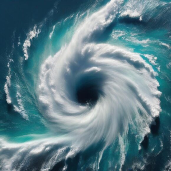
The U.S. Gulf Coast from Mississippi to the Florida Panhandle is at risk of a hurricane strike by the end of the week as a patch of turbulent weather in the Atlantic becomes more organized.
Currently a swirl of thunderstorms in the Caribbean and southern Gulf of Mexico, the system has a 70% chance of becoming the Atlantic’s next storm by Wednesday, the US National Hurricane Center said.
Forecast models predict it will thread the gap between Cuba and Mexico’s Yucatan Peninsula, driving north across the warm waters of the Gulf before making landfall somewhere between Bay St. Louis, Mississippi — east of New Orleans — to Florida’s western coast. It would be the fourth named storm to hit the US mainland this year.
Related: More Than 250,000 U.S. Properties Reported to Have Repeated NFIP Claims
“As it moves, it will encounter ideal conditions,” Tyler Roys, a senior meteorologist at commercial forecaster AccuWeather Inc., said in an interview. “We are very concerned for rapid intensification Wednesday to Thursday afternoon.”
The storm, which would be called Helene if it continues to strengthen, threatens to be the first this year to hit the US mainland as a major hurricane with winds of 111 miles (180 kilometers) per hour or more. That would make it at least a Category 3 on the five-step Saffir-Simpson scale.
The storm’s track will be determined by a larger low-pressure system across the central US that could steer it ashore anywhere from southern Mississippi to western Florida, Roys said. This would currently keep it to the east of many offshore oil and natural gas operations near Louisiana and Texas.
Related: Verisk Estimates Global Modeled Insured Average Annual Loss from Nat Cats at $151B
Meanwhile, a second system in the Pacific may bring a humanitarian disaster to Mexico’s Oaxaca state. Tropical Storm John has formed about 130 miles south of Punta Maldonado, Mexico, with winds of 45 miles per hour, the US National Hurricane Center said. The storm forecast to track northeast into the Mexican state of Oaxaca overnight Tuesday into Wednesday.
There is a chance more than 30 inches (76 centimeters) of rain will fall across the mountainous region, leading to deadly floods and landslides, Roys said. It may also grow into a hurricane before it hits.
“We are very nervous,” Roys said.
Was this article valuable?
Here are more articles you may enjoy.


 Elon Musk Alone Can’t Explain Tesla’s Owner Exodus
  UBS Top Executives to Appear at Senate Hearing on Credit Suisse Nazi Accounts
  US Will Test Infant Formula to See If Botulism Is Wider Risk
  Credit Suisse Nazi Probe Reveals Fresh SS Ties, Senator Says