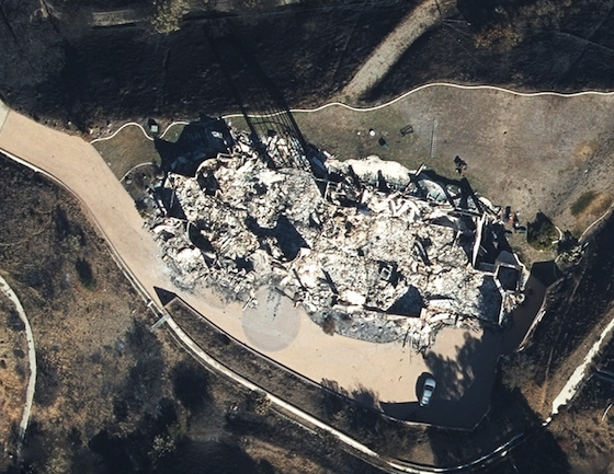
The world was watching end-of-days scenes: Firefighters in yellow jackets, blurry against a copper sky, battled to push back walls...
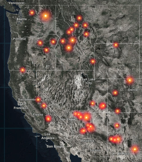
geographic information system News
On Wednesday afternoon, the Hillsborough River at Morris Bridge Road north of Tampa, Florida, was flowing at more than 3,020...
Some of the most famous planes in the weather world are hurricane hunters, piloted by steely nerved aviators who fly...